| Alsószölnök Dolnji Senik | |
|---|---|
 Flag Flag Coat of arms Coat of arms | |
 Location of Vas county in Hungary Location of Vas county in Hungary | |
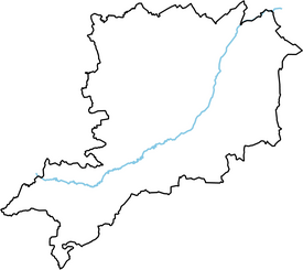
 Dolnji SenikLocation of AlsószölnökShow map of Vas County  Dolnji SenikAlsószölnök Dolnji Senik (Hungary)Show map of Hungary | |
| Coordinates: 46°55′39″N 16°12′09″E / 46.92746°N 16.20254°E / 46.92746; 16.20254 | |
| Country | |
| County | Vas |
| Area | |
| • Total | 10.02 km (3.87 sq mi) |
| Population | |
| • Total | 368 |
| • Density | 37/km (95/sq mi) |
| Time zone | UTC+1 (CET) |
| • Summer (DST) | UTC+2 (CEST) |
| Postal code | 9746 |
| Area code | 94 |
Alsószölnök (German: Unterzemming, Slovene: Dolnji Senik, Latin: Zelnuk Inferior) is a village in Vas County, Hungary. Until 1945 it had a German majority.
Notable people
- Jožef Košič - József Kossics (1788–1867), Slovenian writer
- Jožef Sakovič - József Szakovics (1874–1930), Slovenian Roman Catholic priest
This Vas location article is a stub. You can help Misplaced Pages by expanding it. |