| Baghai بغاي | |
|---|---|
| Commune and town | |
 | |
 | |
| Coordinates: 35°31′19″N 7°06′52″E / 35.52194°N 7.11444°E / 35.52194; 7.11444 | |
| Country | |
| Province | Khenchela Province |
| Population | |
| • Total | 6,676 |
| Time zone | UTC+1 (CET) |
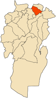
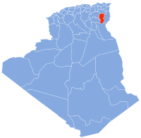
Baghai is a town and commune in Khenchela Province, Algeria. It is located at 35°30'59.99"N 7°06'60.00" E. According to the 1998 census it has a population of 6,414.
Geography
Baghai is located between the Aurès mountains in the south and the Garaat al-Tarf salt lake in the north. El Hamma, Khenchela is 4½ km away and 7 km to the south is Khenchela, capital of Khenchela Province.
History
In antiquity Baghai was known as Bagai, and was a city of Roman North Africa.
References
| Capital: Khenchela | ||
| Khenchela District |  | |
| Kaïs District | ||
| Aïn Touila District | ||
| El Hamma District | ||
| Bouhmama District | ||
| Chechar District | ||
| Ouled Rechache District | ||
| Babar District | ||
35°31′N 7°07′E / 35.517°N 7.117°E / 35.517; 7.117
This article about a location in Khenchela Province is a stub. You can help Misplaced Pages by expanding it. |