| Changuinola River | |
|---|---|
 | |
 | |
| Location | |
| Country | Panama |
| Physical characteristics | |
| Mouth | |
| • location | Caribbean Sea |
| • coordinates | 9°28′00″N 82°27′00″W / 9.4667°N 82.4500°W / 9.4667; -82.4500 |
| • elevation | 0 m (0 ft) |
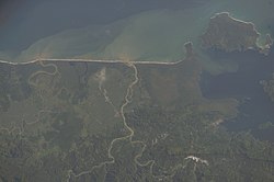
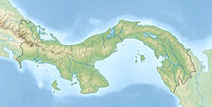
The Changuinola River is a river of Panama. The polygamous Guaymí have lived on the Teraria or Tilorio which is the main branch of the Changuinola River inside Panama and on the headwaters of the Térraba River across the border in Costa Rica. The Changuinola River was impounded by AES Corporation for a hydroelectric project in the Bocas del Toro Province. The riparian land near the mouth of the river hosts extensive banana agriculture.
See also
References
- “Societies and Academies.” Science, vol. 35, no. 913, 1912, pp. 1002–04. JSTOR, http://www.jstor.org/stable/1637488. Retrieved 18 Jan. 2024.
- Conservation Strategy Fund. (January 1, 2005 - December 1, 2006). "Changuinola-Teribe Dams in Panama". CSF website Retrieved 18 January 2024.
- Flowers, R. Wills. “Diversity of Stream-Living Insects in Northwestern Panamá.” Journal of the North American Benthological Society, vol. 10, no. 3, 1991, pp. 322–34. JSTOR, https://doi.org/10.2307/1467605. Retrieved 18 Jan. 2024.
- Rand McNally, The New International Atlas, 1993.
- CIA map, 1995.
This article related to a river in Panama is a stub. You can help Misplaced Pages by expanding it. |