| Chungnyungsan | |
|---|---|
 | |
| Highest point | |
| Elevation | 879 m (2,884 ft) |
| Listing | Mountains of Korea |
| Coordinates | 37°45′10″N 127°19′59″E / 37.75278°N 127.33306°E / 37.75278; 127.33306 |
| Geography | |
| Country | South Korea |
| Province | Gyeonggi |
| Korean name | |
| Hangul | 축령산 |
| Hanja | 祝靈山 |
| Revised Romanization | Chungnyungsan |
| McCune–Reischauer | Ch'ungnyŏngsan |
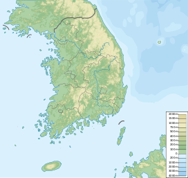
Chungnyungsan (Korean: 축령산) is a mountain in Gyeonggi Province, South Korea. Its area extends across the city of Namyangju and the county of Gapyeong. Chungnyungsan has an elevation of 879 m (2,884 ft).
Notes
- An 2004, p.435.
References
- An Gyeong-ho (2004). 한국 200 명산 (200 Korean Mountains). Seoul: 깊은솔 (Gipeunsol). ISBN 89-89917-14-X.