| Halat Bu Maher حالة بو ماهر | |
|---|---|
| Neighborhood | |
 | |
| Coordinates: 26°14′46″N 50°36′54″E / 26.24611°N 50.61500°E / 26.24611; 50.61500 | |
| Country | |
| Governorate | Muharraq Governorate |
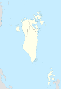
Halat Bu Maher (Arabic: حالة بو ماهر), sometimes abbreviated to simply "Al Hala" (Arabic: الحالة), is a neighbourhood of Muharraq, Bahrain. It used to be a separate island, but after coastal expansion via land reclamation and dredging, the island has merged with Muharraq Island, and the former settlement integrated as a neighbourhood of Muharraq city.
Located at the southern tip of Muharraq city, the neighborhood is home to the historic Bu Maher Fort, which is part of the UNESCO-listed Bahrain Pearling Trail. The Al Hala Club football team is based here.
In the early 20th century, Halat Bu Maher was used as a quarantine camp for arrivals to Bahrain by sea or air.
References
- Clear coastline! Archived 2012-03-31 at the Wayback Machine, Gulf Daily News, April 15, 2008
- Toorani, Mohamed Qasim (2020-07-01). "Halat Bu Maher: the past and present use of quarantine in Bahrain" (PDF). Eastern Mediterranean Health Journal. 26 (7): 764–767. doi:10.26719/emhj.20.083.
| Settlements in the Muharraq Governorate of Bahrain | |
|---|---|
This Bahrain location article is a stub. You can help Misplaced Pages by expanding it. |