| Lumajangdong Co | |
|---|---|
 View of lake taken during ISS Expedition 13 View of lake taken during ISS Expedition 13 | |
 | |
| Coordinates | 34°00′N 81°37′E / 34.000°N 81.617°E / 34.000; 81.617 |
| Basin countries | China |
| Surface area | 250 km (97 sq mi) |
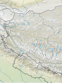
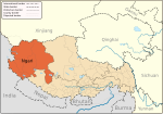
Lumajangdong Co (Tibetan: ལུ་མ་བྱང་སྟོང་མཚོ, Wylie: lu ma byang stong mtsho; Chinese: 鲁玛江东错; pinyin: Lǔmǎjiāngdōng Cuò) is a lake in the Ngari Prefecture, Tibet, China with an area of 250 km. It is located at 34° 2' 0" and 81° 40' 0". Gormain lies a few miles (5–7 km) to the northwest.

References
- ^ LakeNet – Lakes
- Map of Lumajangdong Co (lake), China - World Atlas - MSN Encarta Archived 2009-08-02 at the Wayback Machine
External links
| Ngari Prefecture, Tibet | ||
|---|---|---|
| County-level divisions |  | |
| Towns and villages | ||
| Geography | ||
| Landmarks | ||
| Sciences | ||
This Tibet location article is a stub. You can help Misplaced Pages by expanding it. |