Town in Victoria, Australia
| Nangana Victoria | |
|---|---|
  | |
| Coordinates | 37°52′S 145°32′E / 37.867°S 145.533°E / -37.867; 145.533 |
| Population | 54 (2021 census) |
| Postcode(s) | 3781 |
| Location | |
| LGA(s) | Shire of Cardinia |
| State electorate(s) | Monbulk |
| Federal division(s) | La Trobe |
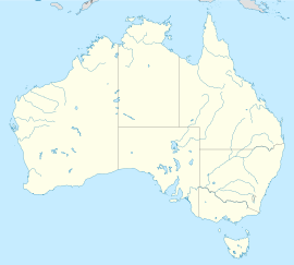
Nangana is a bounded rural locality 56 kilometres (35 mi) from Melbourne, in Victoria, Australia, located within the Shire of Cardinia local government area. Nangana recorded a population of 54 at the 2021 census.
The town has no post office or official town centre. Like Mount Burnett, Nangana shares its postcode (3781) with Cockatoo.
History
In 1902 Post Offices named Crichton's and Nangana opened in the area. Nangana closed around 1910. Crichton's was renamed Nangana in 1918 and closed in 1964.
References
- ^ Australian Bureau of Statistics (28 June 2022). "Nangana (Suburbs and Localities)". 2021 Census QuickStats. Retrieved 10 July 2022.

- Phoenix Auctions History, Post Office List, retrieved 11 April 2021
| Localities in the Shire of Cardinia | ||
|---|---|---|
| City |  | |
| Town |
| |
| Locality | ||
| ^ - Territory divided with another LGA | ||
This article about a location in Victoria, Australia is a stub. You can help Misplaced Pages by expanding it. |