| This article relies largely or entirely on a single source. Relevant discussion may be found on the talk page. Please help improve this article by introducing citations to additional sources. Find sources: "West Webburn River" – news · newspapers · books · scholar · JSTOR (July 2024) |
| West Webburn River | |
|---|---|
 Webburn River Webburn River | |
  | |
| Location | |
| Country | England |
| County | Devon |
| Physical characteristics | |
| Source | |
| • location | Eastern Dartmoor |
| Mouth | East Webburn River |
| • location | Oakmoor Wood |
| • coordinates | 50°32′31″N 3°48′50″W / 50.542°N 3.814°W / 50.542; -3.814 |
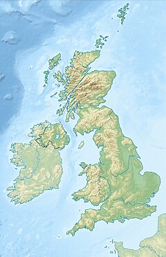
The West Webburn is a stream on Dartmoor in Devon in south-west England. It rises on the eastern side of the moors flowing off the east side of Hameldown Ridge. Its source is extremely close to the Grimspound Bronze Age settlement, and it was probably the main source of water for the settlement. It flows south, going past Widecombe-in-the-Moor, and joins the East Webburn River at Lizwell Meet in Oakmoor Wood. These combined streams then join the River Dart at Buckland Bridge close to the village of Holne.
References
| Rivers of Dartmoor, Devon, England | |
|---|---|
This Devon location article is a stub. You can help Misplaced Pages by expanding it. |
This article related to a river in England is a stub. You can help Misplaced Pages by expanding it. |